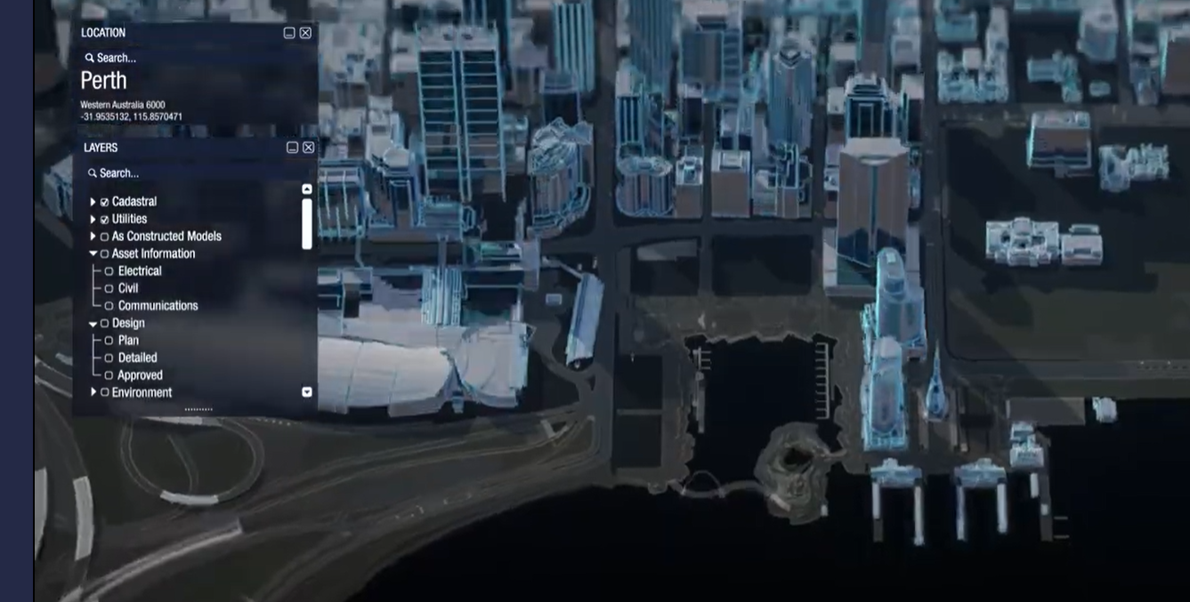
Western Australia is moving on a long-standing plan to create a digital twin of the state, announcing a $140 million development package for a 10-year project.

The decision comes nearly 18 months after Landgate said, in its 2021-2022 annual report [pdf], that it had prepared a draft business plan for the project, known as Spatial WA.
At the time, Landgate explained, “a spatially accurate digital twin of Western Australia can enhance multiple government services to help deliver state government priorities and realise significant benefits for government, industry and the community.”
Since then, Landgate has consulted with more than 30 other agencies.
The new funding, announced late last week by minister for planning John Carey, will be delivered through the state’s Digital Capability Fund.
It’s a considerable expansion of the project, which received just $12.4 million in the 2023-2024 state budget [pdf].
Spatial WA will create a “spatially accurate 4D virtual representation of the built and natural environment,” which will support “key government priorities around infrastructure delivery, planning reforms and emergency preparedness,” the government said.
The aim is to offer “precise location data relating to roads, buildings, networks, pipelines and other infrastructure” across agencies, reducing wait times for planning applications, making maintenance more efficient, streamlining development approval processes, and making it easier for communities to engage with infrastructure project.
The government said while it has identified 250 potential uses for the technology so far, Spatial WA will first focus on four use cases: infrastructure projects and asset management; digital approval workflows for development application referrals; coordinated management of administrative land boundaries; and exposure modelling for emergency management.
Once those use cases have been delivered, the program will be expanded to other public and private sector users.
Spatial WA expects the program’s technical capability to be developed over the first five years, by which time the priority use case outcomes will be demonstrated.
Landgate’s annual report also noted the state will need a new 3D/4D spatial cadastre to support the digital twin.


