Australia and Canada face similar northern logistics problems
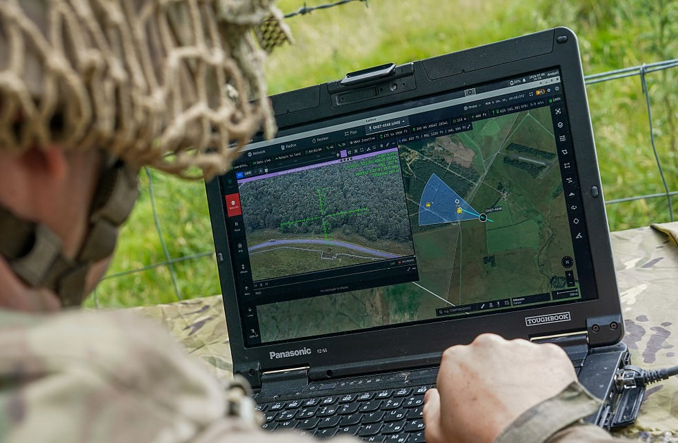
Australia and Canada are separated by half a world, but a new defence partnership is exposing an unexpected similarity. Canada is buying Australian surveillance technology developed to monitor the vast approaches to Australia’s north. The same tyranny of distance that shaped Australia’s Jindalee Operational Radar Network is now shaping how Canada approaches surveillance and defence of its Arctic.
In June, Canada signed a C$2.5 billion (A$2.5 billion) government-to-government agreement to acquire Australian Over-the-Horizon Radar technology, derived from the Jindalee Operational Radar Network across northern Australia, to provide long-range surveillance of the Arctic and northern approaches.
The radar deal provides more than a defence export. It creates a useful basis for Australia and Canada to compare how they design, build and sustain capability in remote northern environments. The regions are very different, but both face enormous distances, limited infrastructure, difficult access and environmental conditions that place demands on platforms and infrastructure well beyond those encountered in southern population centres.
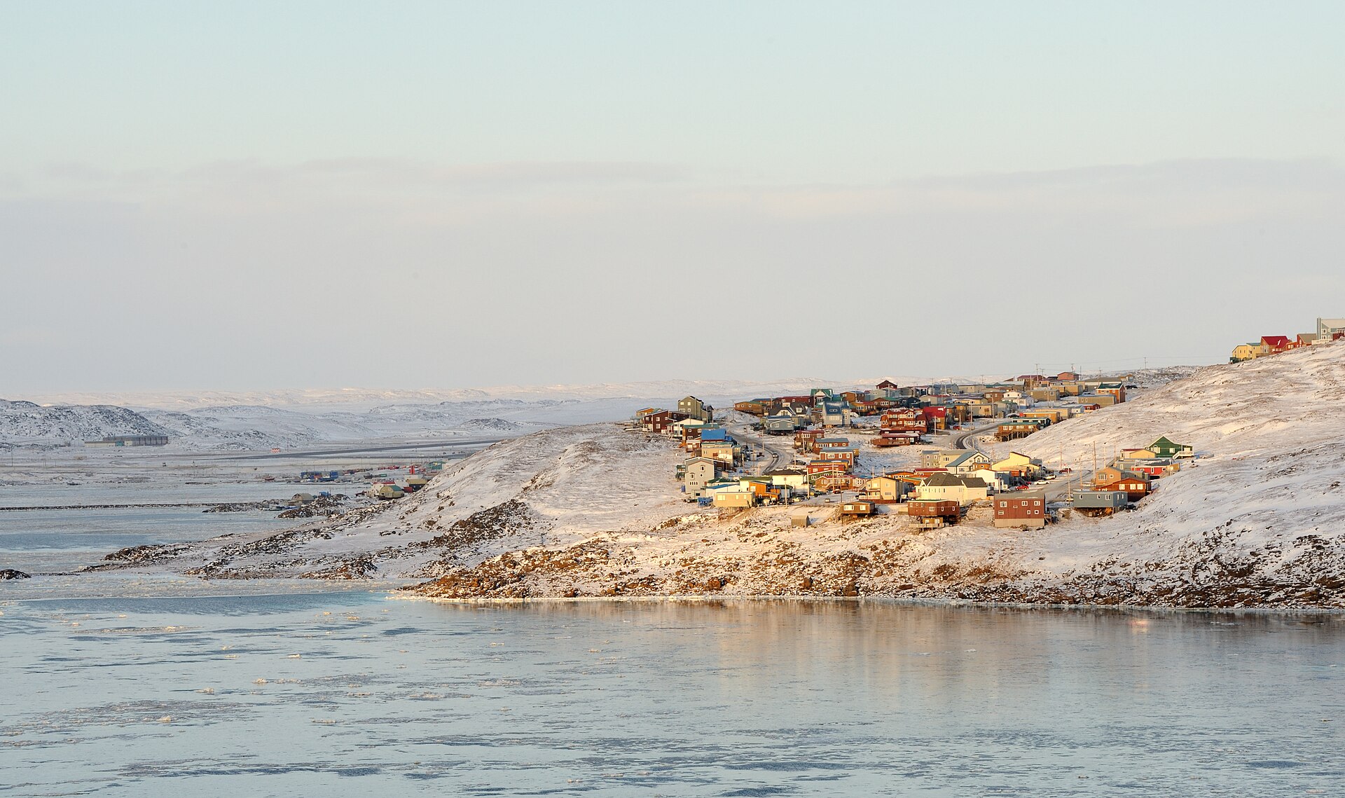
The Canadian Arctic Archipelago makes up around 48 percent of Canada’s landmass. Including both the land and marine environments, the region covers an area of almost 4.8 million square km. The archipelago is sparsely populated and difficult to access, and many northern communities have no permanent road connection to the south and depend on air transport and seasonal marine resupply. Many receive only one sealift each year, with orders for fuel, heavy equipment, construction materials, vehicles and other supplies needing to be placed about a year in advance.
Northern Australia constitutes around 40 percent of Australia’s landmass, an area of around 3 million square km, encompassing all of the Northern Territory and the northern parts of Western Australia and Queensland.
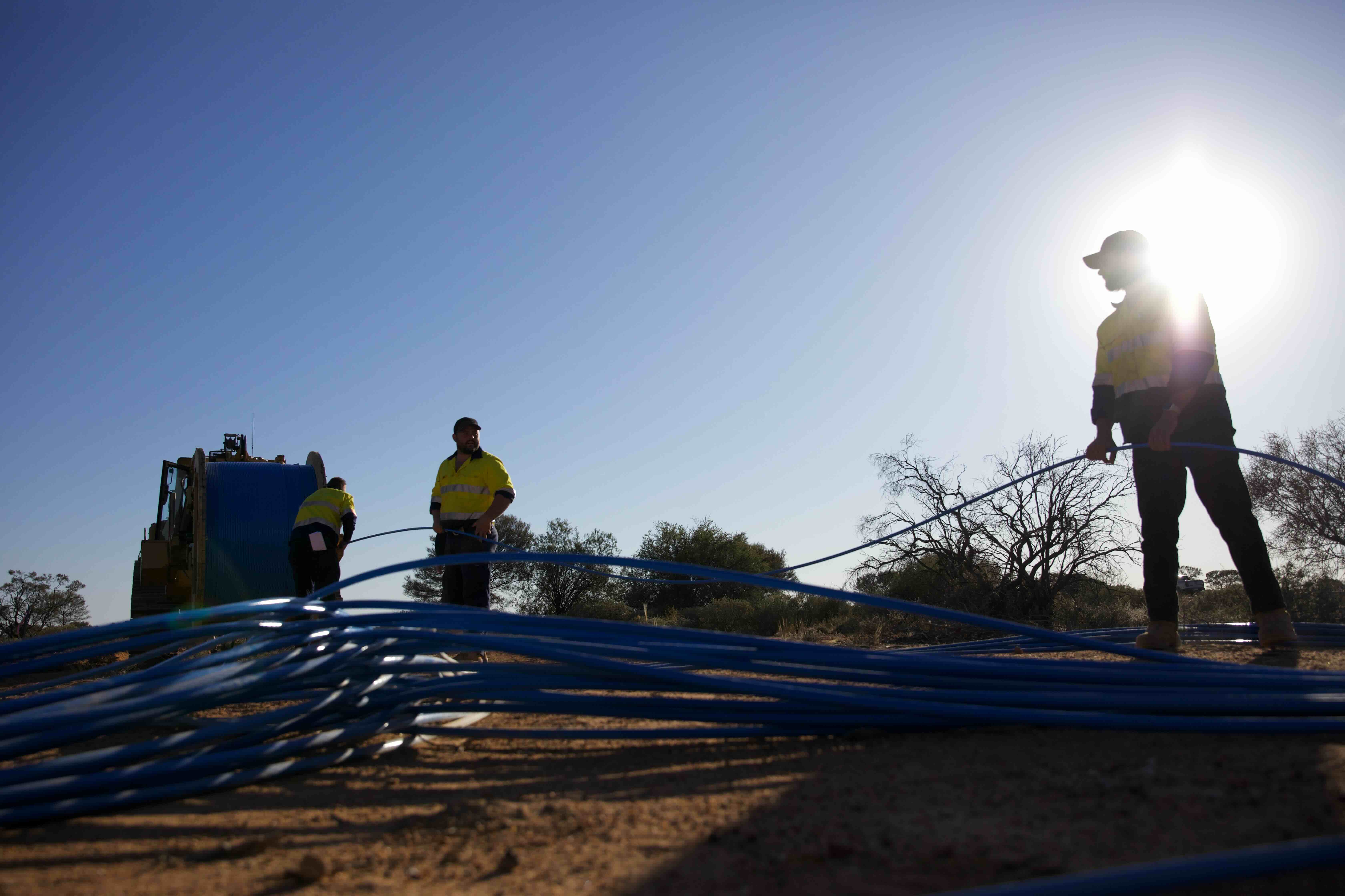
The geography is different, but the logistical issues are similar. The distance from Darwin to Adelaide is more than 3,000 km, Cairns and Brisbane are more than 1,600 km apart and Broome is around 2,200 km from Perth. Roads, airfields and ports are separated by enormous distances, while wet seasons, flooding and cyclones can disrupt supply chains and restrict access to remote communities and Defence facilities.
For both countries, distance is not simply a transport problem. It affects how capabilities need to be designed.
A surveillance system that requires regular access by specialist technicians is less suitable for a remote operating environment than one designed for long periods of autonomous operation. A platform that requires frequent specialist maintenance is harder to sustain when the nearest workshop may be hundreds or thousands of kilometres away. The question is not only whether a capability can reach the north but whether it can remain operational once it gets there.
The environmental conditions add another layer of complexity. Canada’s Arctic and northern Australia represent almost opposite climatic extremes. Canadian equipment and infrastructure must operate through prolonged periods of darkness, on permafrost and in temperatures that can fall to -40 degrees C. Northern Australian platforms and infrastructure must withstand extreme heat, with temperatures regularly exceeding 40 degrees C in parts of the region. The wet season brings high humidity, intense rainfall, flooding and tropical cyclones, creating the greatest risk of severe weather and disruption to access.
Canada is increasingly treating northern transport corridors as strategic infrastructure, rather than solely as economic development projects. Its new Arctic Infrastructure Fund supports dual-use roads, airports, bridges, rail and ports to strengthen defence readiness, connect communities and support economic development. The proposed Arctic Economic and Security Corridor would improve year-round access to the Arctic coast, linking communities and mineral resources to a proposed deepwater port and airfield, while the Northern Operational Support Hubs program is intended to provide the infrastructure and logistics needed to sustain military operations across the Arctic. Together, these investments reflect a deliberate approach to northern infrastructure in which defence, economic and community requirements are planned together rather than treated as separate needs
There is a direct lesson for northern Australia: infrastructure should be designed as a connected system. Ports need connections to roads and airfields. Fuel storage needs distribution networks. Maintenance facilities need to be located where platforms can be supported. Surveillance needs to connect with communications and logistics.
Canada’s experience offers Australia useful lessons, but the learning should run in both directions. Australia has decades of experience operating surveillance and defence capabilities across continental distances and is now providing that expertise to Canada. Canada is developing new approaches to Arctic mobility, distributed logistics, dual-use infrastructure and sustained military presence.
The new radar partnership provides a practical foundation for a broader Australia–Canada exchange on northern capability. Both countries should be comparing how platforms are designed for extreme environments, how infrastructure is positioned and connected, and how forces can be maintained when access and resupply are constrained.
The tyranny of distance cannot be removed. But it can be designed for.
About Author